Car navigation systems
Content
The navigation system is an integral part of the motorist. Thanks to her, it always turns out to get to the desired destination along a short path, as well as explore the area around. Even the most budget cars are equipped with navigation, and just 15 years ago this was considered an unaffordable luxury of premium models, while ordinary car owners had to study a huge atlas of roads.
What is a car navigation system?
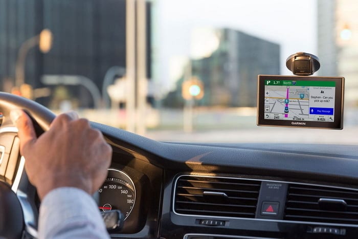
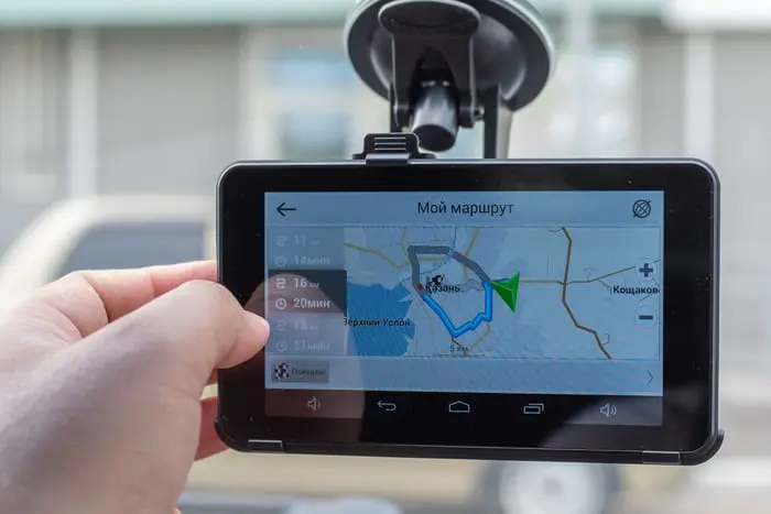
A car’s navigation system is a device with an electronic map in memory that solves navigation problems. In a modern GPS navigator, a map of one or several countries is “sewn up”, which not only helps to find the necessary location, but accompanies the entire road, indicating obstacles and road signs. The main convenience is that for the operation of auto-navigation does not need the Internet.
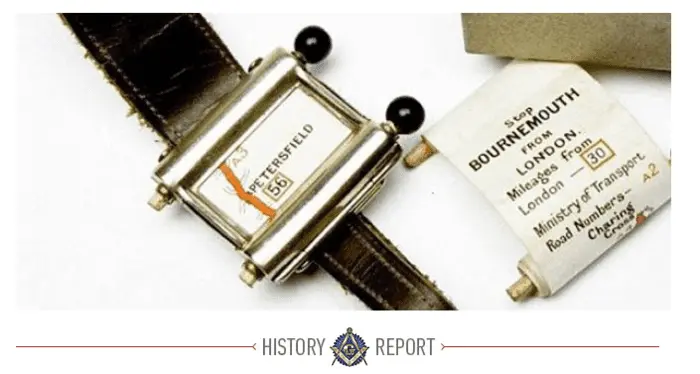
The very appearance of the navigator falls on the first half of the 20th century. The first large-scale device was the British watch The Plus Fours Routefinder where a rolled roll with a card was placed, which must be manually rotated. At that time, this was an advanced solution.
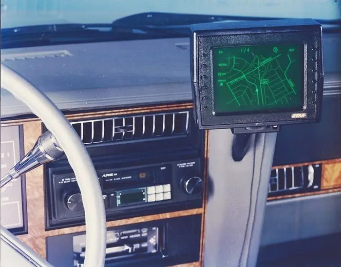
In 1930, Italian engineers released the first full-fledged navigator, which was also based on scrolling a roll with a map, however, the movement of the map occurred automatically due to a bundle with a speedometer. It also made it possible to show the location of the car in real time.
Further, attempts were made to create navigators based on the relationship not with the satellite, but with magnets installed every 7-10 kilometers. Thanks to the magnets, buzzer and color indicators are activated, indicating turns and obstacles.
Car navigation system device
Speaking of GPS devices as a separate gadget, then regardless of the manufacturer, they all have one main function and many similar ones, and the principle of operation is practically the same. They all have a similar architecture, the same software principle. What does a standard car GPS navigator consist of?
Hardware
Inside the case there are three main components: the board, display and battery. For more than 10 years, all navigation devices are touch-sensitive, so they quickly abandoned the keyboard.
Display
The navigator display works like all electronic gadget sensors: connecting to a loop through which all data passes. The only feature of this display is anti-reflective coating, and this is the main requirement for an automobile device, which distinguishes it from a mobile phone.
Plateau
Here, all the elements necessary for the operation of the gadget are soldered. It is a minicomputer with a microcircuit, RAM and processor.
GPS antenna
It is a classic antenna tuned to receive satellite waves at a specific frequency. By type of installation, it can be removable and soldered, but this does not affect the quality of signal reception.
Processor (chipset)
Designed to process the received antenna signal. There are many generations of chipsets that are distinguished by the quality and speed of information processing, and modern, in addition to satellite, receive reflected signals Memory
The automotive GSP has three memories: operational, internal, and BIOS. RAM provides fast navigator operation, data loading and real-time location updates. Internal memory is needed to download maps, additional applications and user data. BIOS memory is used to store the loading of the navigation program.
Additional Items
Among other things, navigators can be equipped with Bluetooth for synchronization with other gadgets, a GPRS module and a radio for receiving traffic data.
Software
The software is tailored specifically to the needs of the navigator. A feature of the software is that it also loads the libraries necessary for all programs to work.
Navigation program
Navigators such as Garmin, Tomtom use their navigation maps, which ensures its good work. Other navigators use third-party maps, such as Navitel, IGO and others.
Car Navigation Features
The navigator performs such work as:
- laying a route from point “A” to point “B”;
- search for the required address;
- analysis of a potential route, search for a short way;
- early identification of road obstacles (road repair, accident, etc.);
- warning about the posts of traffic police;
- statistics of the traveled path;
- determination of vehicle speed.
Which is better: smartphone or navigator
Most car owners who do not have a full-time navigation system use their smartphone as a guide. Typically, smartphones are equipped with a standard application that not only acts as a navigator, but also keeps a chronology of movements. The choice in the direction of phones is obvious, because it is convenient, practical, and it is smaller in size than the navigator.
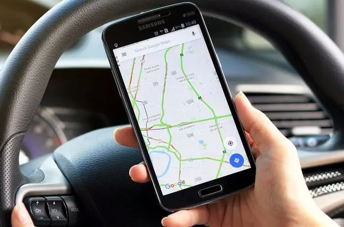
Many devices based on “Android” have a standard Google map application as well as Yandex Navigator, which has wide functionality.
If you want to use other applications, you should download maps from the official market. At the same time, there are both online and offline applications.
Reasons to use a smartphone as a navigator:
- free programs and extensions for a small fee;
- systematic updates to applications and maps;
- no need to spend money on a separate device, in the phone the navigator can work in the background;
- compactness and convenience;
- the ability to exchange location and chat with other users (for example, with other drivers who are in traffic);
- No internet connection required.
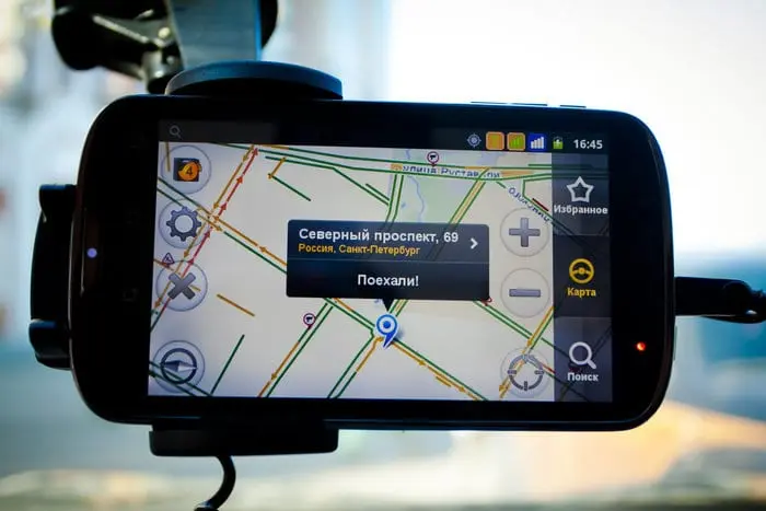
As for the absolute advantages of a car navigator, it’s a clear work and the most correct information about geolocation, when it comes to a certified product. Such devices work flawlessly, updates periodically come out. Do not forget that modern touch-sensitive radios have switched to the android platform, and navigation is already present in them.
How to choose a program to navigate to your phone
Today, there are many applications, each of which is distinguished by the quality of work, functionality, graphics and architecture of the map. Downloading the navigator to your mobile phone is not difficult, you just need to download it from the official markets (Google Play, App Store). Installing the application takes no more than 2 minutes, and using it as convenient as possible.
List of applications that are preferred today:
- Google Maps - a standard program for a smartphone and other device based on Android. The map has a number of important functions, such as chronology, online transfer of geodata, constant updating of maps;
- Yandex Navigator - an application that is gaining more and more popularity. Now it is also installed on smart phones as a standard program, unlike Google Maps, it has wider functionality, helps to bypass toll roads, traffic jams, points out sights, hotels, cafes, other establishments and businesses;
- Navitel - the once popular navigator with up-to-date maps of the whole world. The licensed version is paid, but on the Internet you will find free versions, but you will lose constant updates and a number of useful features. The main requirements for the device are high performance and a capacious battery.
- Garmin - a long-playing brand in the market of navigators and related software. The program is characterized by a wide coverage of the country, it is possible to display realistic images of roads and road signs on the display. But you have to pay for the quality and wide functionality.
Questions and answers:
What's the best navigation software? It depends on the region in which the navigator is used (whether there is a map update and satellite signal available). They do an excellent job with navigation Google Maps - the leader among navigation software.
What's the best car navigator? Built-in maps in a smartphone (depends on the operating system and phone performance), Garmin Drive 52 RUS MT, Navitel G500, Garmin Drive Smart 55 RUS MT, Garmin Drive 61 RUS LMT.
What kind of navigation systems are there? Motorists most often use: Google Maps, Sygic: GPS Navigation & Maps, Yandex Navigatir, Navitel Navigator, Maverick: GPS Navigation.